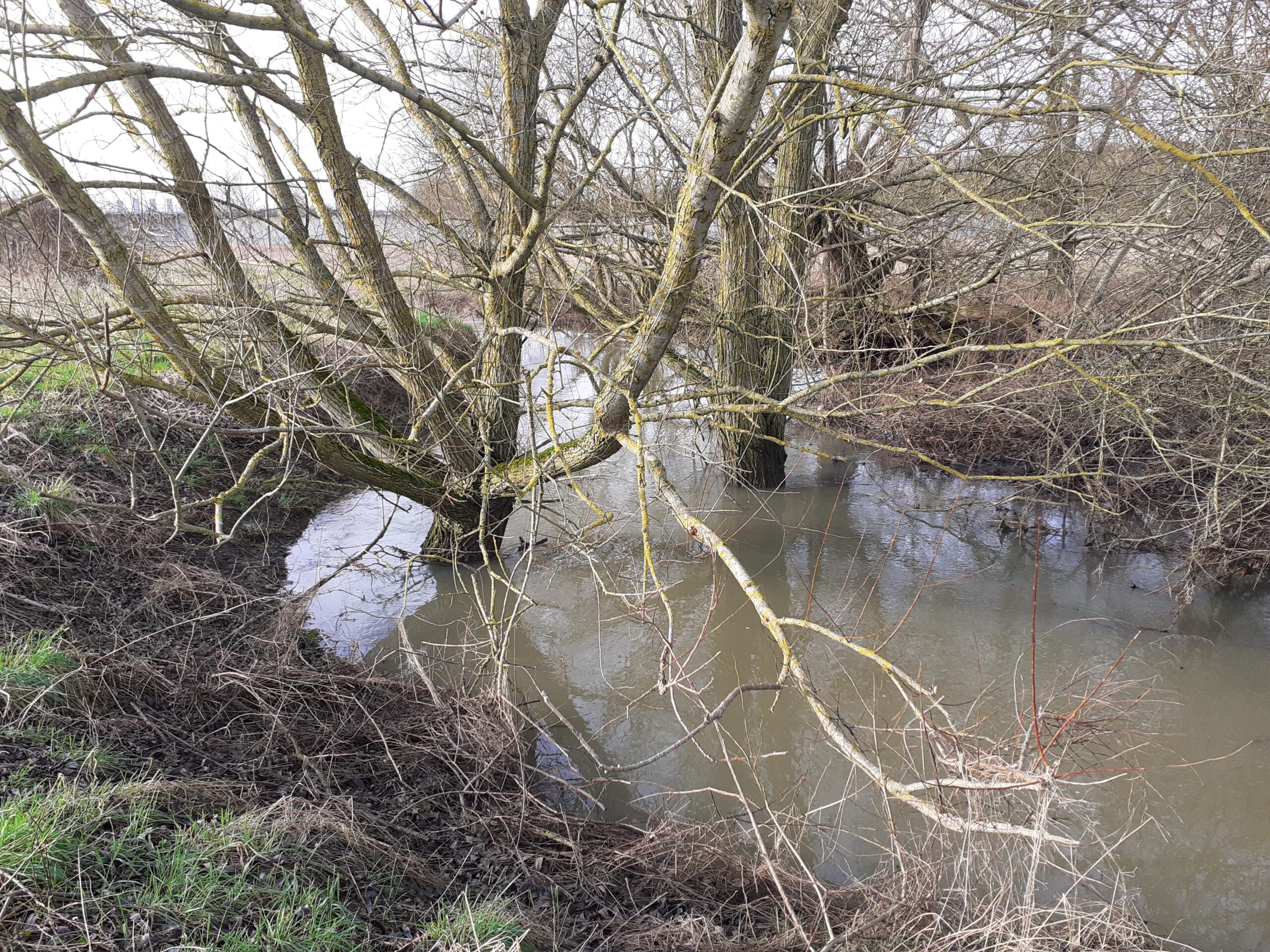
It took me a while to notice that Bicester lacks a major river. Of course it didn’t help that for the first few years I lived here, the mighty River Bure was culverted and canalised in a concrete ditch for much of its journey through Bicester town centre. It is not an imposing water course in any case, although capable of causing trouble when in flood, as evidenced by the piles of sandbags appearing outside dwellings on Causeway every winter. As the name suggestions, Causeway covers the Bure, which by this time is split into two steams running through separate culverts. With the new Sainsburys / Pioneer Square development, the Bure was released from its sad culvert, daylighted and diverted to the other side of Mansfield Road, where it now runs open and naturalised until it splits to duck under Causeway.
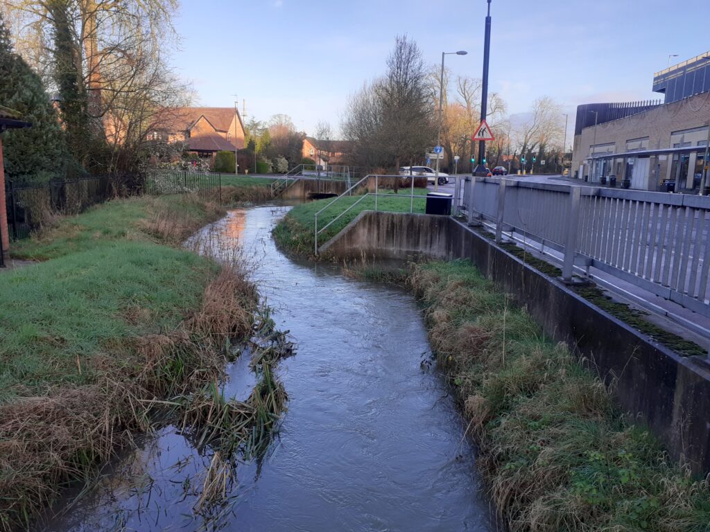
What is the difference between a river and brook? Is there a hierarchy? The second Bicester waterway, the Langford Brook, seems to me more substantial than the Bure, yet it is it not given the title of river. Regardless, it is lovely, meandering to the east of the town centre through the Langford Village estate. It rises near Stratton Audley to the north-east of Bicester and passes through agricultural land, collecting other watercourses as it goes. It’s course is still largely natural, with some human intervention to pass under roads and railways as it enters and leaves Bicester. As far as I know, the brook has never been used to power a mill or perform any other work; its primary purpose (if a river needs a purpose) is to drain water away from farmland.
It is stated in several places online that the River Bure is a tributary of the River Ray. If you follow the maps though, and no disrespect meant to the Bure, it looks to me that the Bure is a tributary of the Langford Brook. It is therefore the Brook which feeds the Ray and should therefore take the title of ‘top river’ in Bicester. Besides that, the Langford Brook just ‘looks bigger’. I took it upon myself to settle this once and for all and to check out the place that they meet – the confluence. I also decided (in for a penny in for a pound) to find the confluence of the Bure and the Pingle Brook on the way, as mapped below with the orange arrows. This explore starts from Pingle Drive, on the edge of the beloved luxury outdoor shopping experience that is Bicester Village.
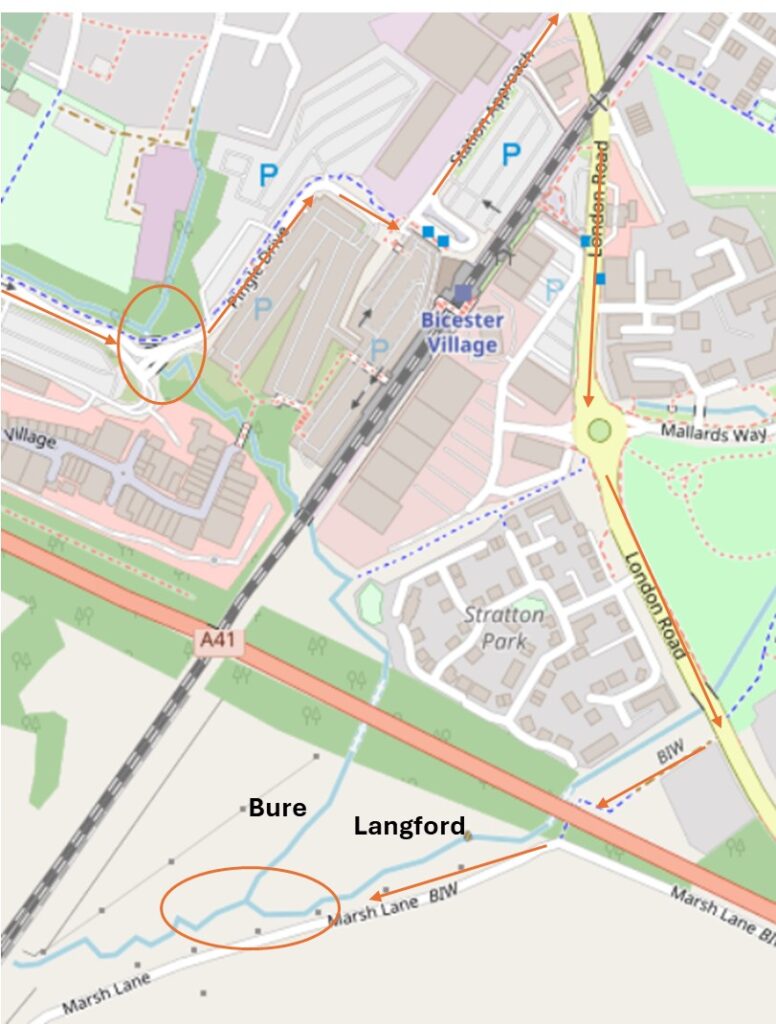
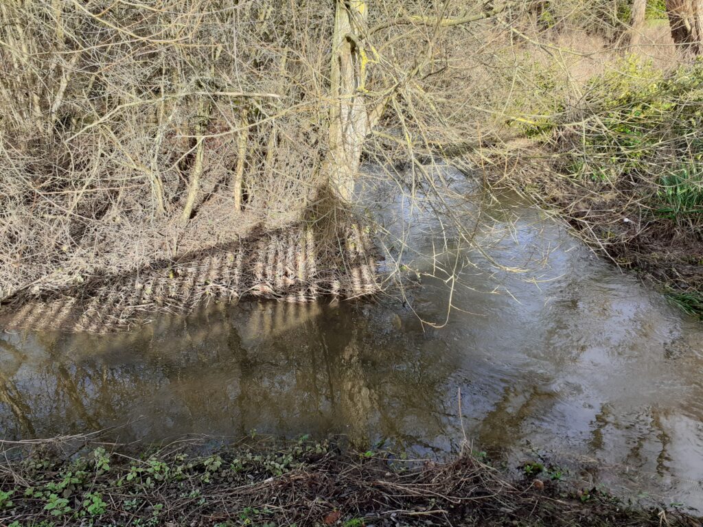
The Bure flows from the north, coming from the town centre and is met by the Pingle brook at the auspicious site of the crossroads of the Bicester Village car park. I try to look inconspicuous while taking photographs of the stream in front of frantically gesticulating parking attendants in high-vis. I like to have an excuse in hand, in case I am challenged for being over-curious in strange places – ‘I am carrying out an environmental project to monitor water levels’ I imagine myself explaining, although truly no one cares.
Confluence One achieved I walk with unfounded confidence through the Bicester Village parking facilities, hoping that there really is a way out for pedestrians at the far end. I am finally spat out with relief at Station Approach and from there turn right on to London Road, cross the railway and head towards the Langford Brook. I turn right down a small lane that I never realised was there until now. The brook flows to my right, although beyond such a thicket of shrubbery I can’t see it. Going through the underpass of the busy A41 I emerge on the other side into… a wilderness that I had no idea existed. Though the signage could have been more inviting.
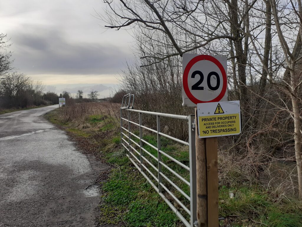
I live for a bit of minor trespass so ignored the sign and pressed on anyway. Plus a respectable looking lady with a large camera had just headed that way so she would get in trouble first. According to the Open Street Map this is Marsh Lane but Google Maps calls it Graven Hill, which reflects its entry to the new Graven Hill housing development, with self-build sites that have featured on Channel 4’s ‘Grand Designs’. I don’t have time to check out the custom homes today as I have a confluence to find. The OS 1914 map states this area is ‘Liable to Flood’ and you can see why.
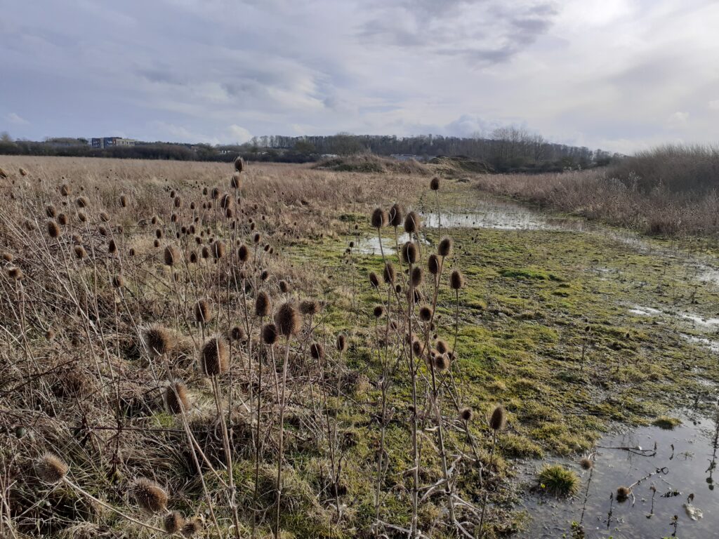
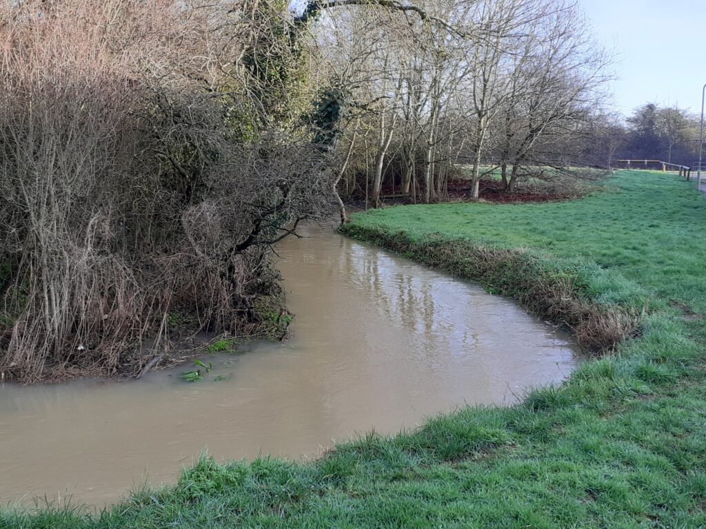
The respectable lady with the big camera is bird-watching and hopefully doesn’t witness me launch with excess enthusiasm through the scrub to find the rivers. ‘I am carrying out an environmental project to monitor water levels’. I don’t know why I am so astonished to find the confluence exactly where it should be, it is a matter of physical geography after all. But thrillingly, there it is! There had been a lot of rain so both water courses are full and flowing with intent, until they meet and go on their way as one.
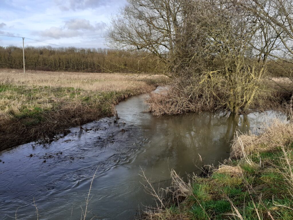
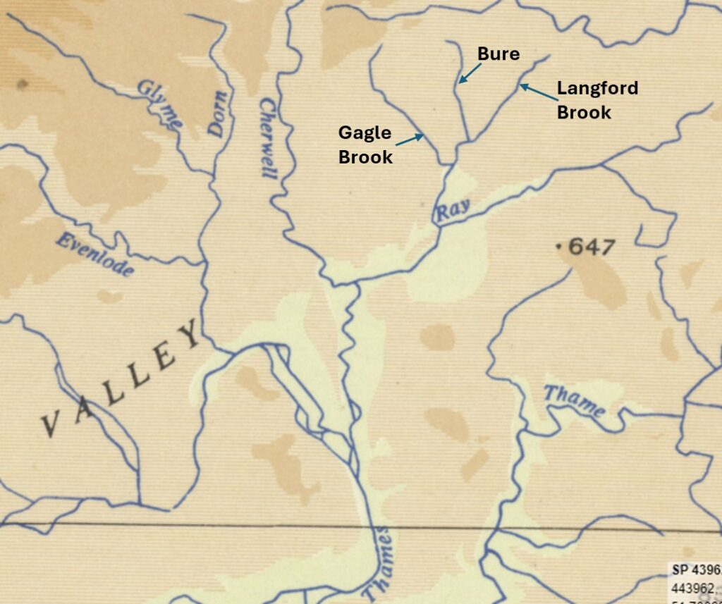
It’s pretty clear that the Langford Brook (to the right above) is the widest and fullest. This settles for me that the River Bure is a tributary of the Langford Brook and it is the Brook that continues to eventually meet the River Ray. This watercourse running south is also labelled as the Langford Brook on many maps and runs alongside Langford Lane, so that seems to confirm it. The OS 10 mile Physical map from 1957 (below) shows the outline of the rivers well but leaves the open question (for another day) of whether the Gagle Brook is a tributary of the Langford Brook or the other way round. I think finding that confluence would require some proper trespass though and I have a threshold for danger so might leave that for now.
