I’m back up north next weekend to walk more of the Cleveland Way and I’ll be staying in Middlesbrough. This reminded me that I did a mini-explore of Middlesbrough last September and I took some photographs. It was really hot. It’s always really hot when I walk the Cleveland Way. Here’s hoping for nice weather next weekend.
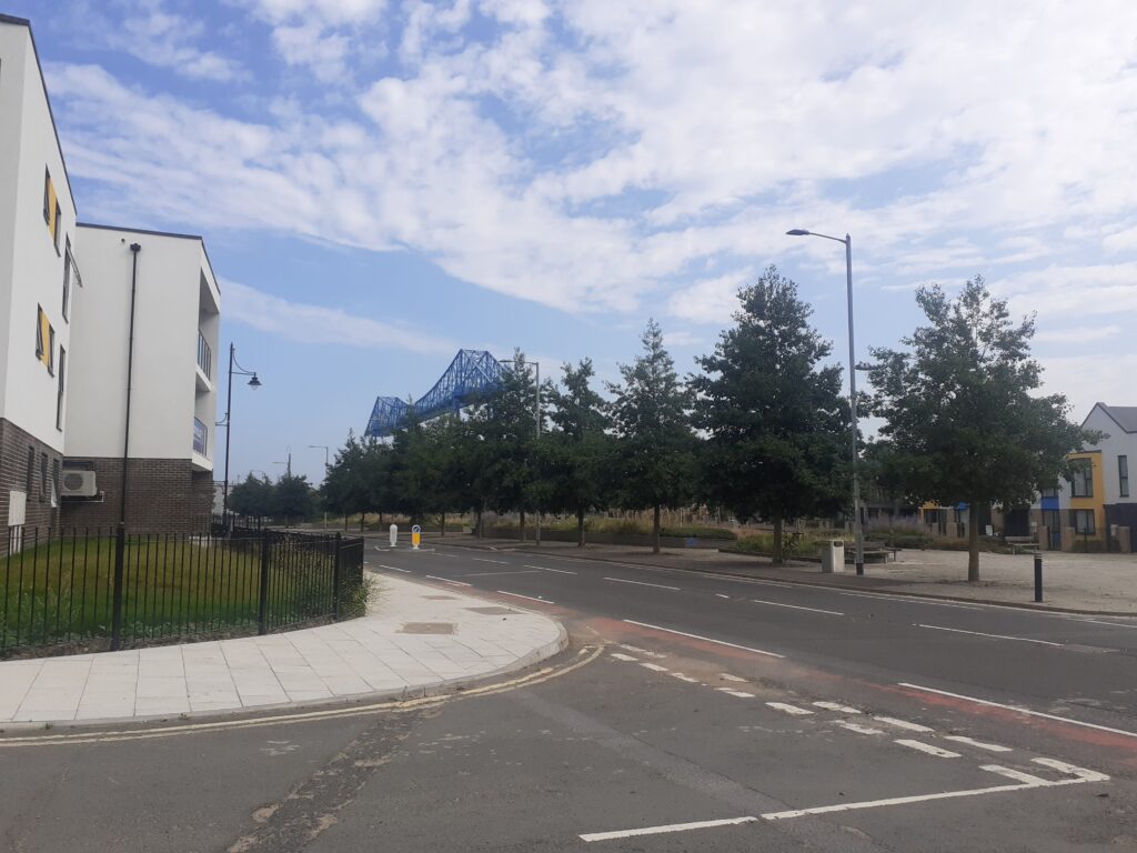
The Transporter Bridge is the first obvious landmark to look for.
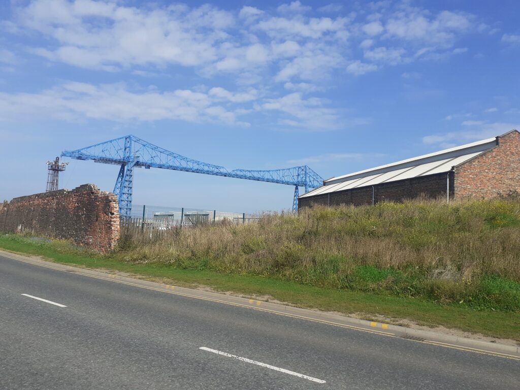
The semi-derelict wall to the left is the remains of the Cleveland Salt Company Works and it has some amazing brickwork. The plaque on the wall reads:
This wall formed the southern boundary of the Cleveland Salt Company Works which operated on the land between Vulcan Street and the River Tees from 1887 to 1947. The company produced 879,972 tons of salt over 59 years by evaporating brine from the salt bed which underlies the Tees Estuary.
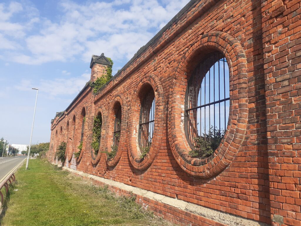
The 1858 OS map shows that the site was previously Iron Works but maps later than 1950 do not show the land in use. It’s certainly not in use now.
Middlesbrough is weird. At least this part near the docks is. Weird in a good way if you are like me and love post-industrial landscapes. You keep getting views of the Transporter Bridge from different angles, like the Eiffel Tower.
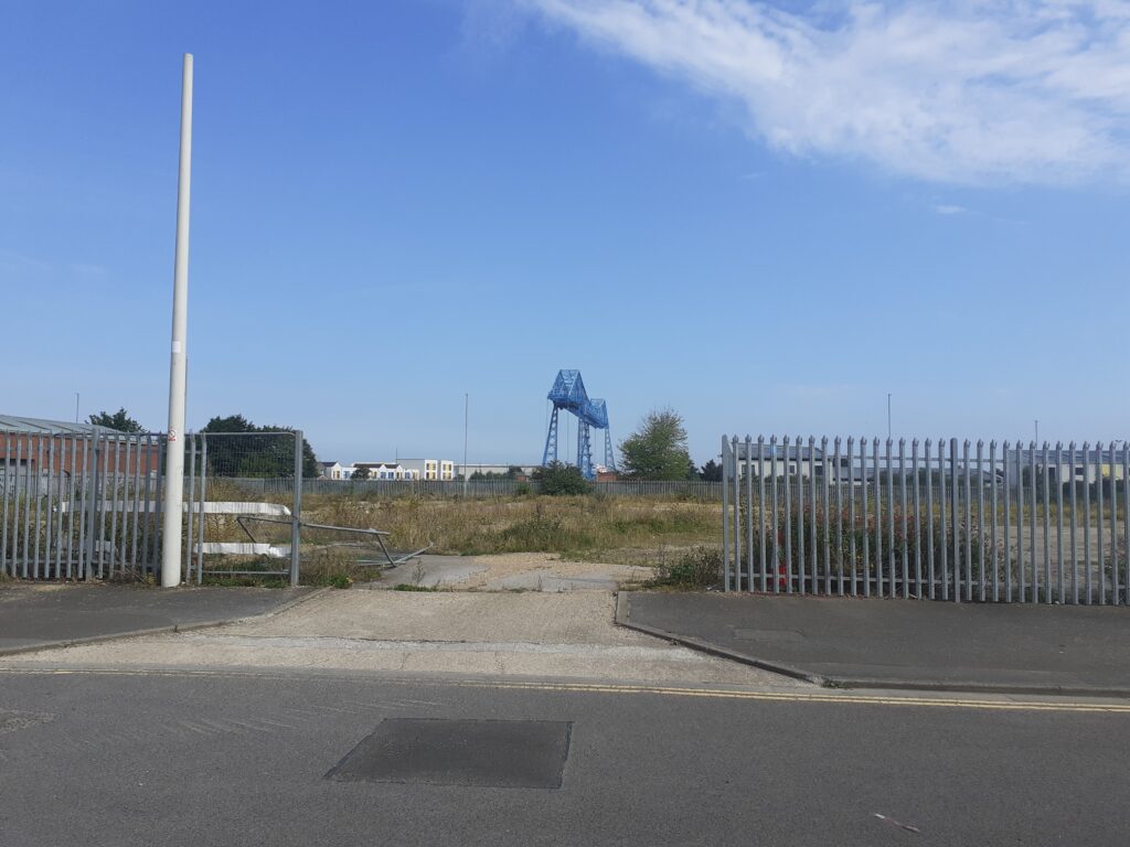
There is a lot of new-build as well as derelict sites ‘awaiting development’. I quite like the Transporter Bridge view from this housing estate, although the view in other direction is a bit post-apocalyptic.
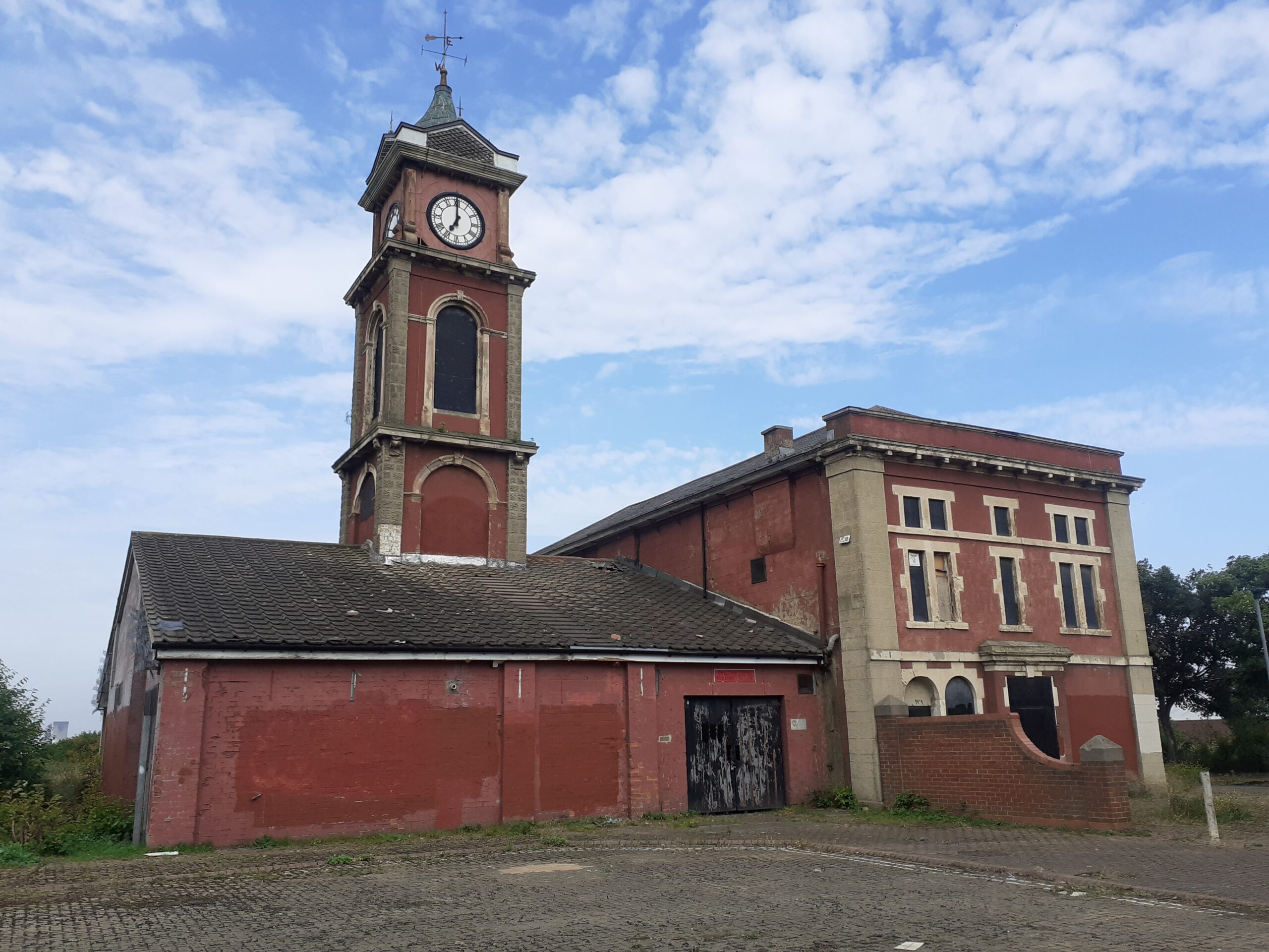
In the other direction is scrub-land with plenty of wild-flowers and an amazing neglected building. The building has a clock-tower and a weather-vane and was clearly something special, although there are no signs or indications of what it is. It seems to be bizarrely left in the middle of this wasteland, while everything around it has been removed. I went to take a closer look but with care. It looked like the type of place you could tread on broken glass and needles.
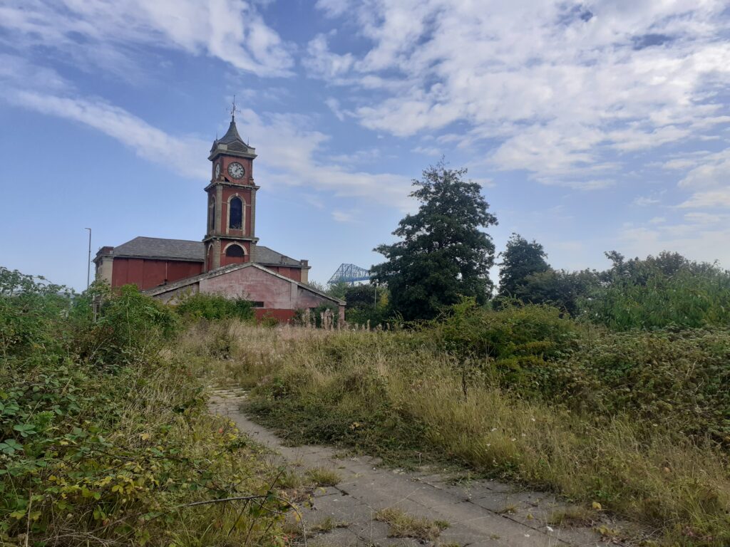
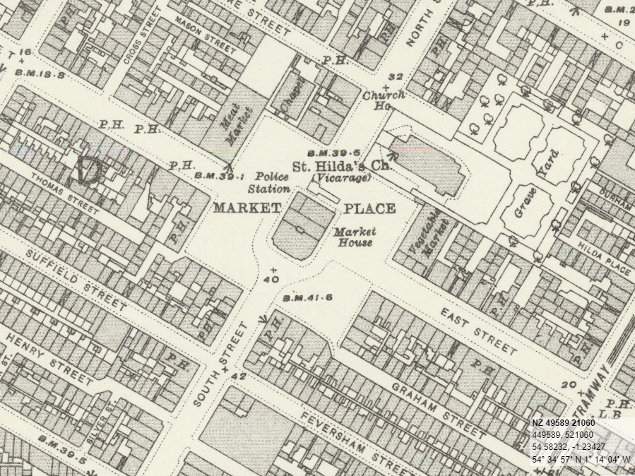
This lovely building is the old Middlesbrough Townhall and on old maps you can see it placed in the middle of Market Place, encompassing a Market Hall and police station too. Dense rows of housing used to surround it, along with meat and vegetable markets, churches (St Hilda’s, seats for 800; Wesleyan Chapel, seats for 650; Independent Chapel, seats for 366) and too many pubs to count (Talbot Inn, Globe Inn, Jolly Sailor’s Inn, Fox and Hounds, King William 4th, Mason’s Arms Inn, Britannia Inn among many, many, many others (and several breweries)).
The maps below is a screen shot of the OS map 1892-1914 from the National Library of Scotland website. The 1840-1860 OS map from the same place shows all of the pub names and site of every brewery. It also shows the site of every water pump and there were many. Anyway, all this is gone now, as you can see in the photograph above, which is taken from what would have been East Street.
A short explore but strangely fascinating. I think they are trying to raise funds to do something with the Townhall. Surely they also have plans for the surrounding site. Student housing or university buildings I would guess.
