From your Northern Correspondent: a dispatch from Co. Durham
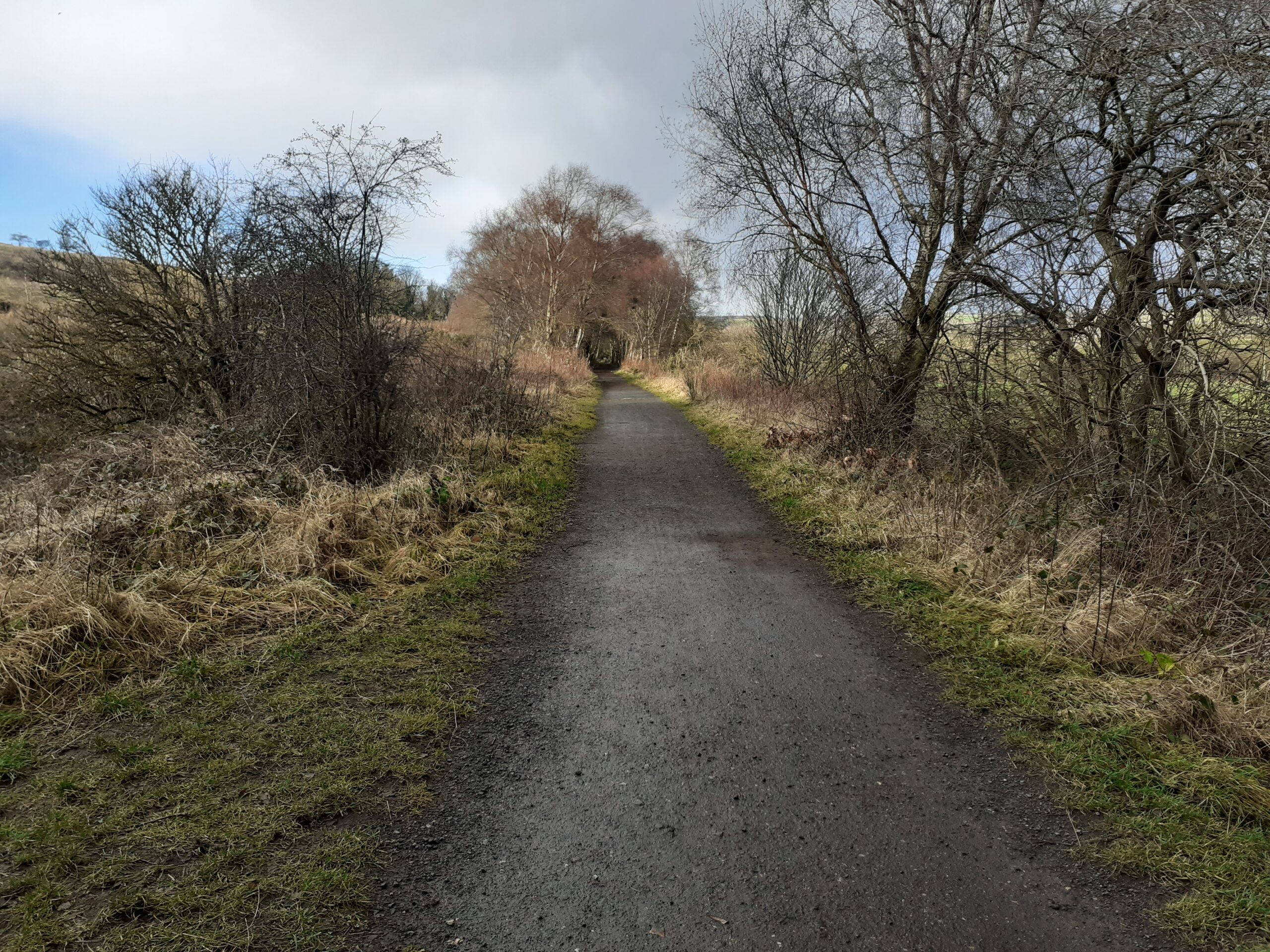
The Lanchester Valley Railway Walk runs from Consett to Broompark in Co. Durham and follows the route of a former railway that used to carry iron ore to Consett Steelworks and coal from Langley Park and other collieries. Opened to passenger traffic in 1862 it was closed entirely in 1965 and now is an attractive and well-used walking and cycling trail. My explore starts near Witton Gilbert, heading south east towards Bearpark. I am following the 1895 OS map, looking for evidence of a building called Mill House that once stood in a field to the left of the railway in my direction of travel.
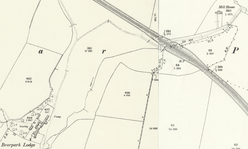
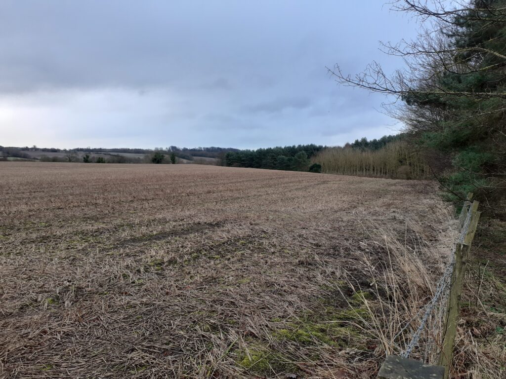
From the map it looks like a stream or mill race runs downhill from near Bearpark Lodge and under the railway towards Mill House. I look out across the field as I approach but can’t see anything suggesting remains of a building. This doesn’t surprise me as there is nothing labelled on any current maps and satellite views show the area has now been reclaimed as farmland. It’s a late December day when I do this walk, so not too much foliage to block the view and the field has that forlorn look of mid-winter. Access to the land seems very discouraged if the extensive barbed wire decoration is anything to go by.
The track to the mill, which used to run under the railway is no longer present but there is some evidence of an old gate where it used to be, although it clearly hasn’t been used in some time.
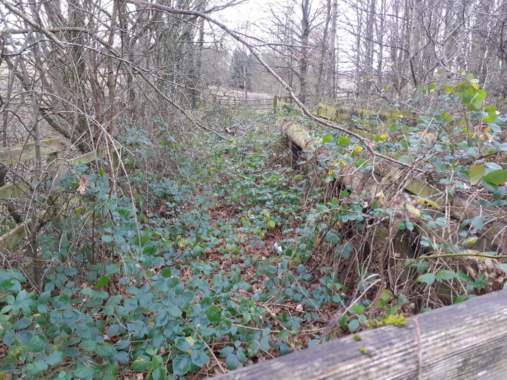
On the ground, the path dips downhill at this point before climbing again quite steeply on the other side. There must have been some form of bridge here when the railway was in use, to keep the track level. Some online information mentions a wooden viaduct elsewhere on the line, which was covered up when the path was constructed. Perhaps there was a similar wooden construction here that has been removed. There are two impressive iron bridges remaining between Witton Gilbert and Langley Park but as these span the meandering River Browney the more substantial construction was necessary. Beyond the forgotten track is what I had come looking for – evidence of a mill race.
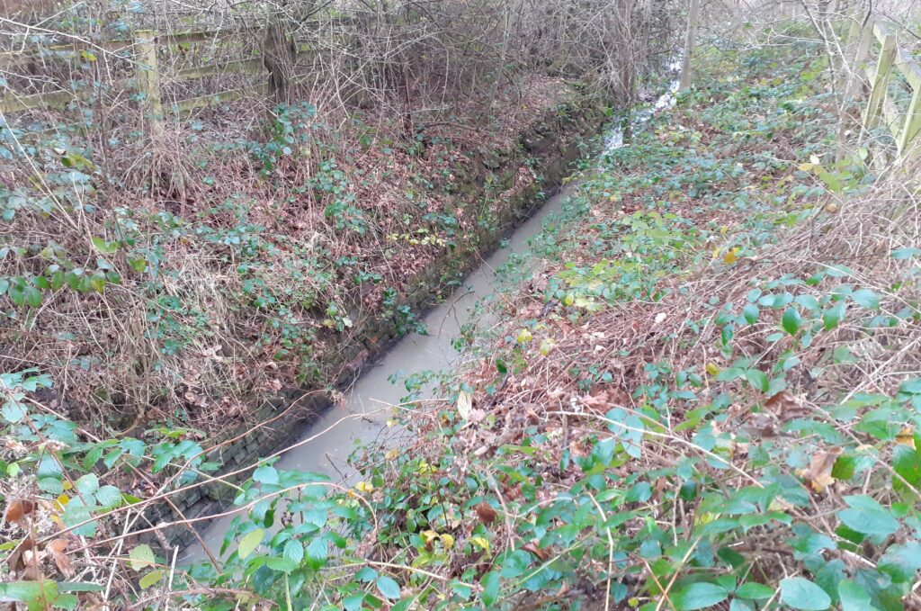
I’m no great expert, but that looks original to me. Stone-lined (or is that brick – some of the chipped parts look red?) and dead straight. This is no natural stream – it has been built to do the job of carrying water from it’s source at the top of the hill, down to the mill to do work. The view above is facing downhill, to the left of the railway track in my direction of travel, with the water running towards the site of the former Mill House. From the other side of the track you can see the water coming downhill from it’s source, with a more modern drain donating more water at the left-hand side.
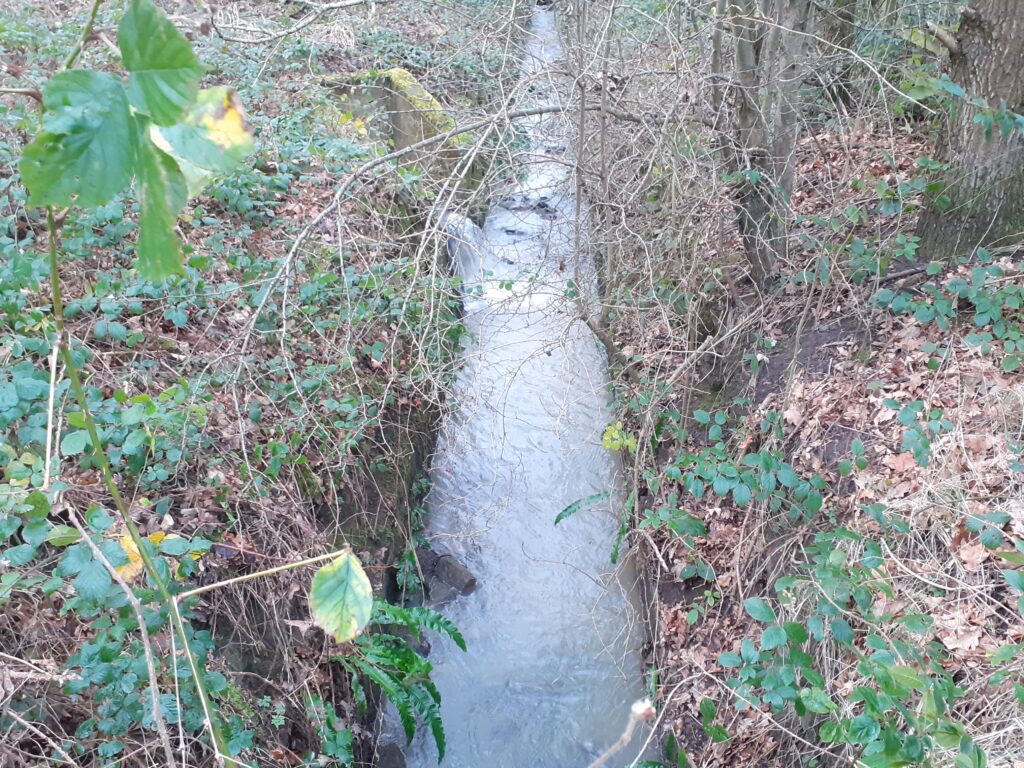
The older maps have the source of this race as near Bearpark Lodge, about 500 m up the hill. The earliest available map from 1861 shows Mill House and the track to it. The outline of the building is present (but unlabelled) on the 1953 OS map, along with the track. By 1966 the unlabelled building is shown but the tracks have disappeared. This suggests that the mill was already out of use by this time. The newest OS maps show a large pond present near Bearpark Lodge (now called Lodge Farm, early 18th century and Grade II listed) which is fed by at least two ‘issues’ or springs. The mill was probably associated with the farm although I can find no further records about it.
I’m pretty satisfied with my sleuthing – I love a bit of water management! There is plenty more to explore along the Lanchester Valley Way but that will need to wait for another instalment.
