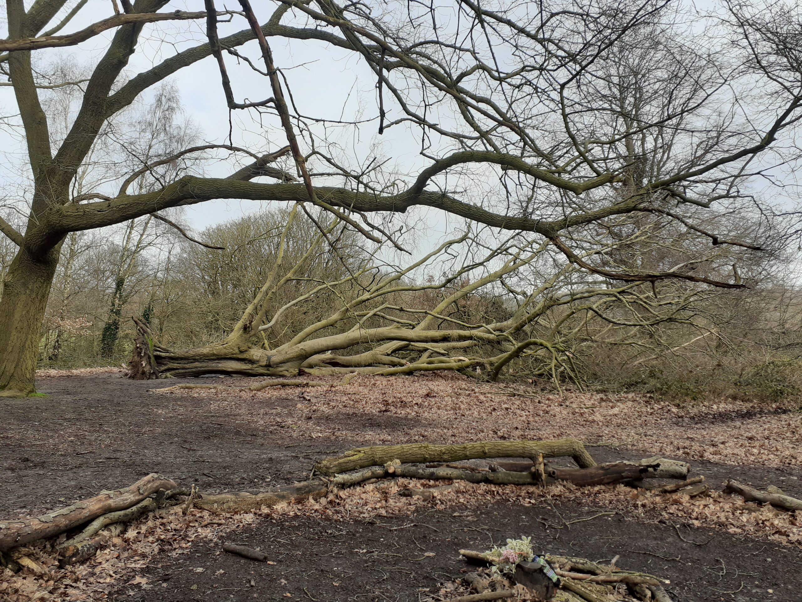
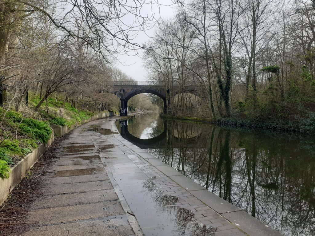
London is a lot hillier than you might think and a good place to get some up- and down-hill miles in. I plotted a circular walk from Marylebone to Hampstead Heath, taking in some sites along the way. Sometimes I am led by unusual places of interest highlighted by Google Maps (the Chinnor Limekiln for example) but in this case I decided I would not detour to see a Cattle Trough near the Heath, even though it was rated five stars, I assume by two cattle trough fans. From Marylebone I first walk through Regent’s Park and then along the Grand Union Canal towards Primrose Hill.
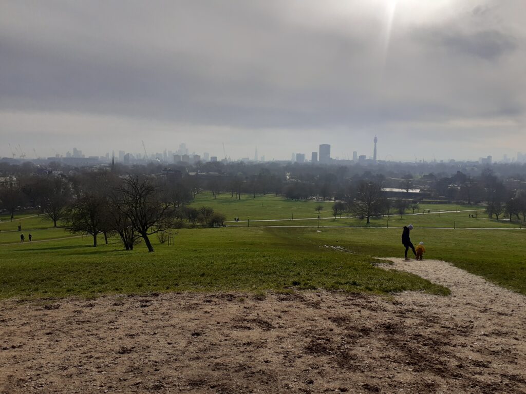
Primrose Hill was meant to be cursory stop, to be ticked off on the way to the main event. However the views over London were magnificent.
After further walking through the well-to-do areas of London I find myself on Hampstead Heath and the top of Parliament Hill. When I say ‘find myself’ I am skipping over the slog uphill through ridiculous mud. Basically Britain is just a sea of mud at this stage and I can’t escape it. Not to knock the Heath but I think the view from Primrose Hill was a little better…
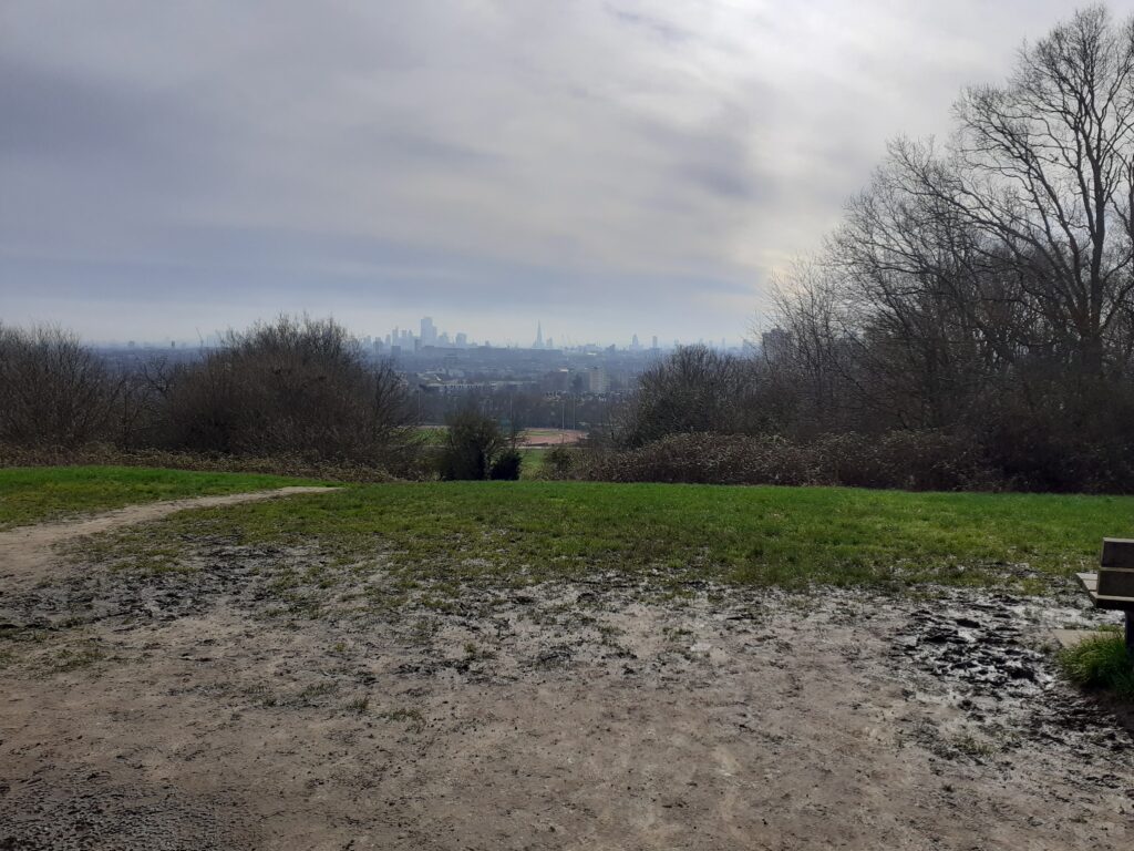
I wade through the mud towards a bench to drink my flask of coffee and contemplate the map. The OS map has a tumulus marked nearby and I decide to detour to see it, although I regret that decision pretty quickly when I see the state of the path. I’m quite stuck in the mud at this stage, but it’s as easy to carry on as it is to go back, so I stagger close enough to get a photograph.
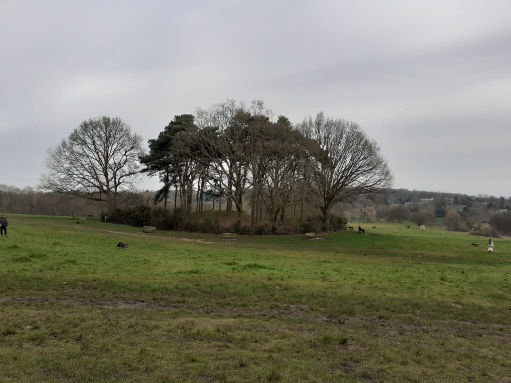
The reviews on Google Maps are illuminating: ‘It’s alright innit. There are some trees n that, and a fence‘ (3 stars). ‘Hardly sustains nor nurtures a mystical allure but worth a butchers‘ (4 stars). I looked up what it is and no one knows. The legends say it is Boadicea’s grave (it isn’t) or a pre-Christian burial site (no evidence for that). The most likely explanation is a site of a 17th century windmill but no pictures of this exist. Oddly, there is an unexplained mound in Bicester near Launton that I’ve read a similar explanation for, although a recent archaeological dig found no helpful information about it.
I wander through East Heath and then Vale of Heath, taking the paths that look the least muddy. In Vale of Heath I spot a strange lone building in the woods that seems to be attached to a long wall and has no obvious purpose.
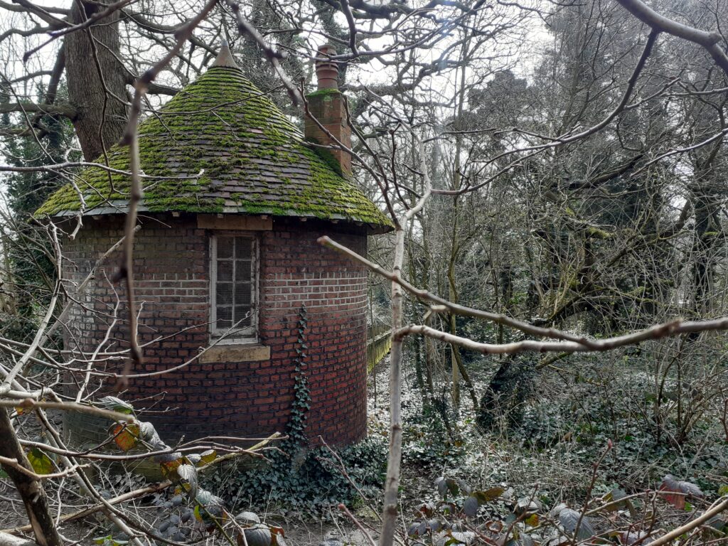
It’s not labelled on Google Maps or the OS Map but later I find it marked on Open Street Maps as ‘Ice House’. Several sites online state the Ice House was an old keeper’s hut. So I’m not sure if it was built as an ice house but became a keeper’s hut, or if it never was an ice house really (it has a chimney – surely superfluous for an ice house?). Maybe not quite as mysterious in origin as the tumulus but yet another unclear origin story on Hampstead Heath.
I walk quite some way further round the Heath and Golders Hill to finally emerge back in the suburban Hampstead streets. I’ve hardly walked any distance down Platt’s Lane before I spot suddenly before me… a cattle trough!
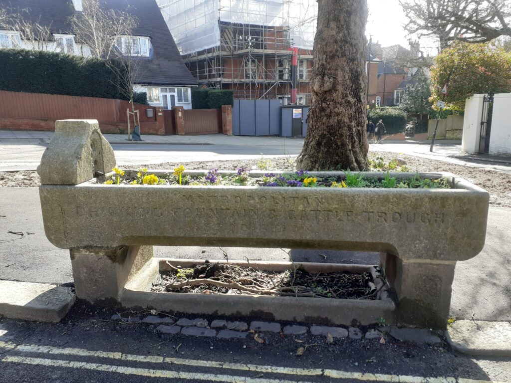
It’s not even the one marked with five stars on Google Maps! I’ve accidently stumbled across another one. And it’s a beauty, I’m sure you’ll agree (if you’re into cattle troughs). The writing on the side says ‘Metropolitan Drinking Fountain and Cattle Trough Association’.
One of the reviews for the other cattle trough gives the following information: ‘The Metropolitan Drinking Fountain and Cattle Trough Association, now known as The Drinking Fountain Association, was established in 1859 in London. Its mission was to provide clean drinking water and cattle troughs throughout the city. The association aimed to combat the issue of animal suffering due to the lack of water available to them, especially during long journeys.‘ I looked up the Drinking Fountain Association and it is still active (http://drinkingfountains.org/) – how cool is that?
The walk back to Marylebone through West Hampstead is quite long so I’ll skip describing most of it. A couple of things catch my eye though. The first is the Alexandra and Ainsworth Estate, which as a fan of Brutalist architecture I found very striking.
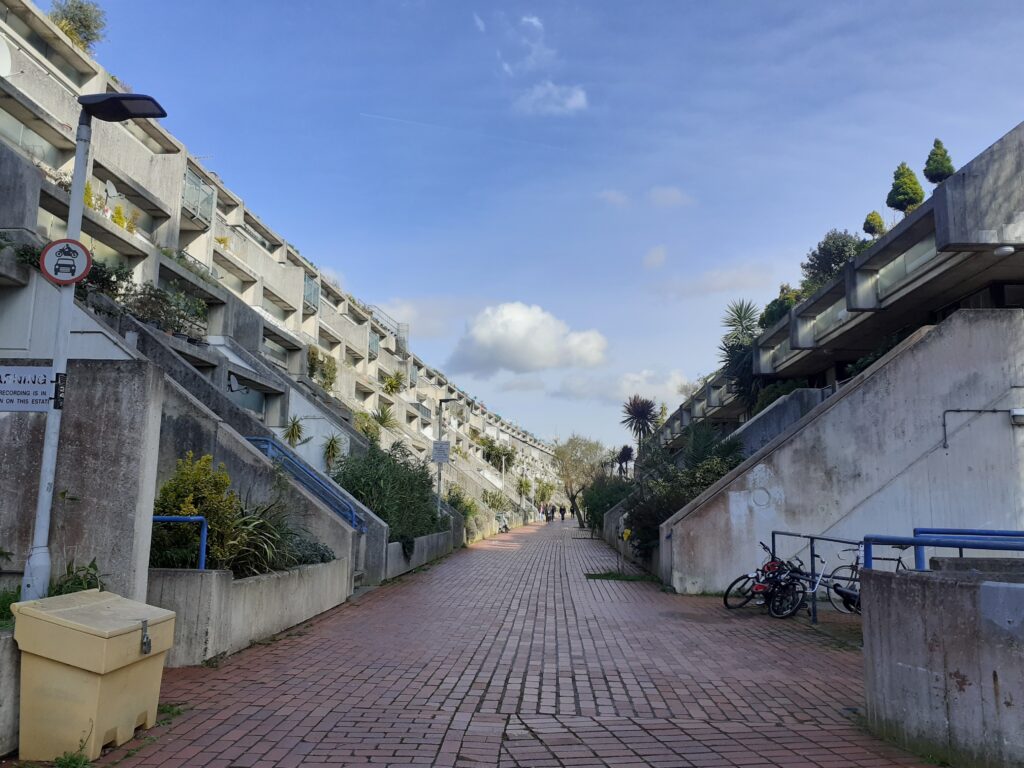
It is worth reading the Wikipedia page to understand the design principles and political fallout behind this development. It is now Grade II listed (the first post-war council housing to be so listed) and apparently suffers from less vandalism than other Camden estates.
The last thing that caught my eye was the crowd of people hanging around a zebra crossing and just looking at it, as if waiting for something to happen.
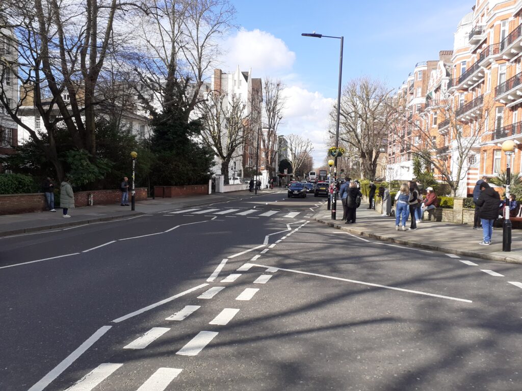
This is the zebra crossing from the album cover of The Beatles’ Abbey Road. People like to have their photographs taken there, posing like the album cover. I was hoping that I could take a photo of some people taking a photo of some people crossing the road. However, although I hung about for bit, it seemed like people weren’t quite sure what to do with themselves once they’d got there and were just hanging around looking at it. Disappointing.
